Santa Clarita Bouquet Fire: Map, evacuation updates as wildfire burns in Los Angeles County

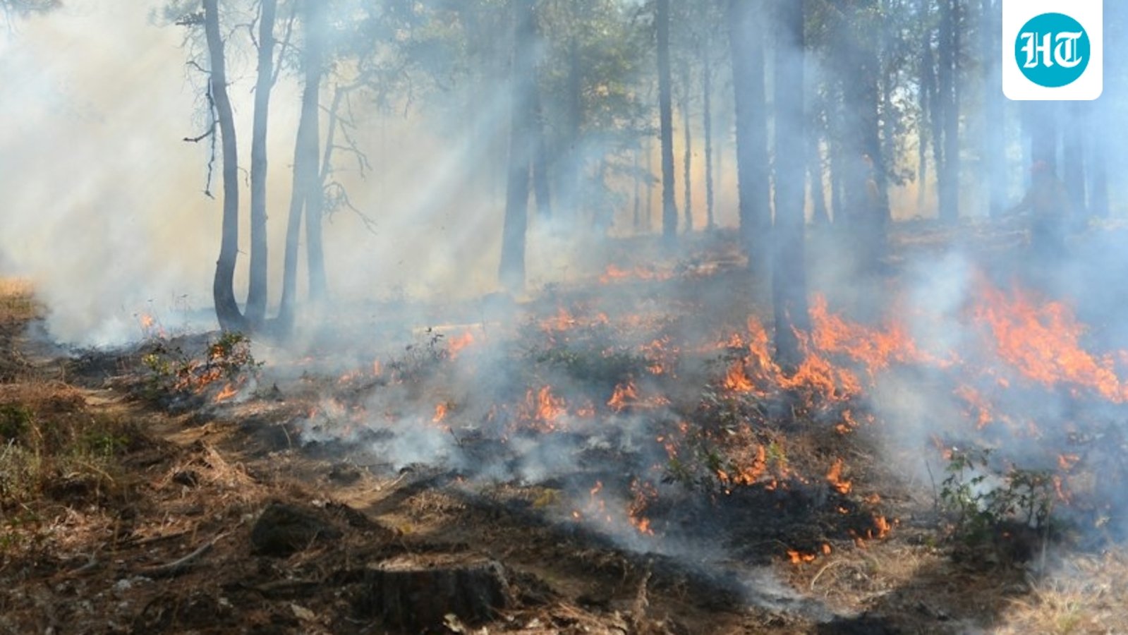
Fire in Santa Clarita. (UnSplash)

Update: The Bouquet Fire burning in Los Angeles County has grown to approximately 100 acres, according to Incident Command. Fire in Santa Clarita. (UnSplash) A request has been made for two Type 3 engine strike teams, consisting of 10 wildland engines, as well as four Type 1 hand crews, according to Watch Duty. The fire … Read more

Reno Bull Fire: Map, evacuation updates as wildfire burns in Verdi, Nevada

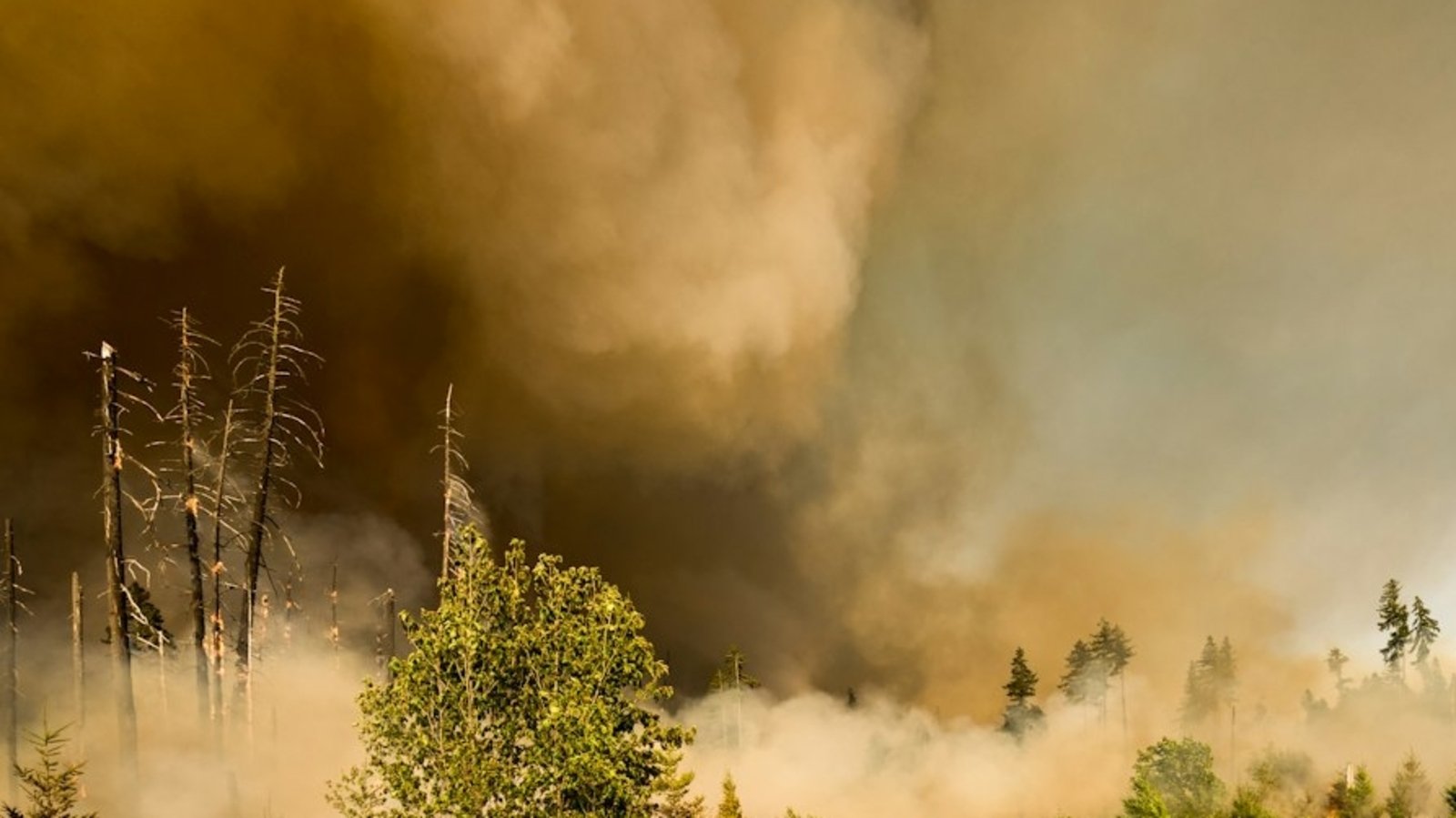
An evacuation warning has been issued as the Bull Fire burns near Verdi in Washoe County. (UnSplash)

Update: At around 5pm EDT, the fire had spread across an estimated 1,100 to 1,200 acres. An evacuation warning has been issued as the Bull Fire burns near Verdi in Washoe County. (UnSplash) Update (4:43pm EDT): The Bull Fire is now approximately 150 acres, as per an update shared on X. Aircraft are working the … Read more

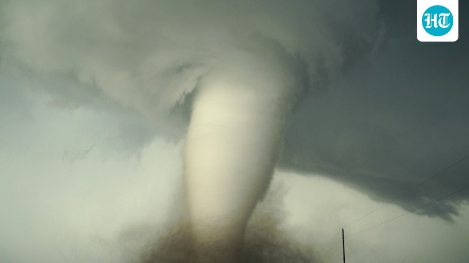
Tornado in Canyon, Amarillo in Texas? Check map as sirens go off amid warning; scary visuals emerge

A radar indicated tornado was in the Amarillo and Canyon areas of Texas. Image for representational purposes. (Unsplash)

A tornado warning was sounded for Amarillo and Canyon in Texas on September 29. There is a radar indicated threat, as per the update. A radar indicated tornado was in the Amarillo and Canyon areas of Texas. Image for representational purposes. (Unsplash) The National Weather Service (NWS) noted ‘Tornado Warning continues for Canyon TX until … Read more

Nor’easter map, tracker and power outage updates for Massachusetts, Maine, Rhode Island, New Hampshire, Maryland and NC

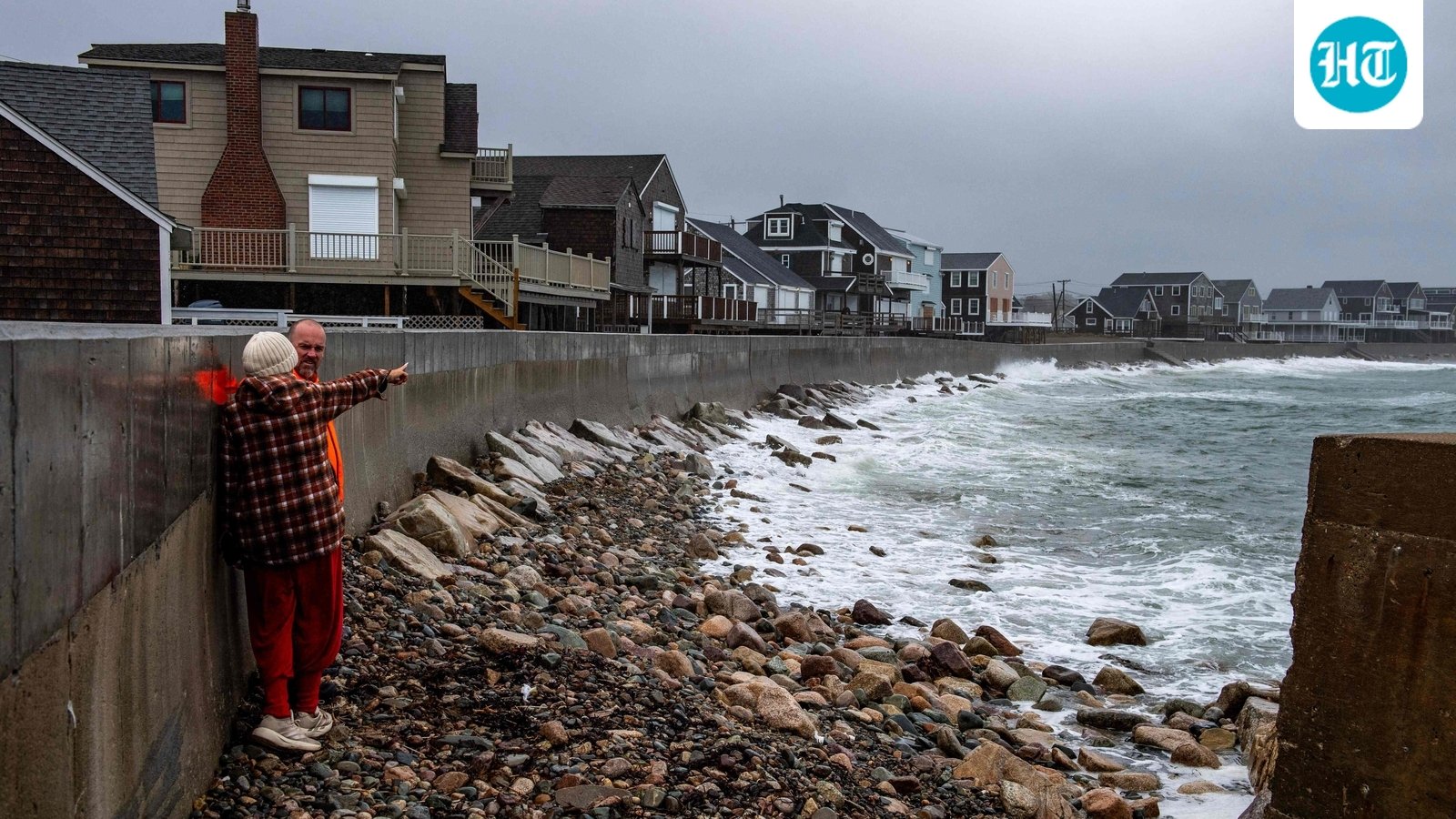
A powerful nor'easter is causing widespread flooding and power outages across the northeastern United States. (AFP)

A powerful nor’easter is bringing heavy rain, strong winds, coastal flooding and power outages across parts of the US East Coast this weekend. Coastal areas from North Carolina to Maine are seeing some of the biggest impacts, with flooding, rough surf and travel disruptions. A powerful nor’easter is causing widespread flooding and power outages across … Read more

Maui County fire: Map and evacuation updates as blaze burns near Olowalu Village, Hawaii

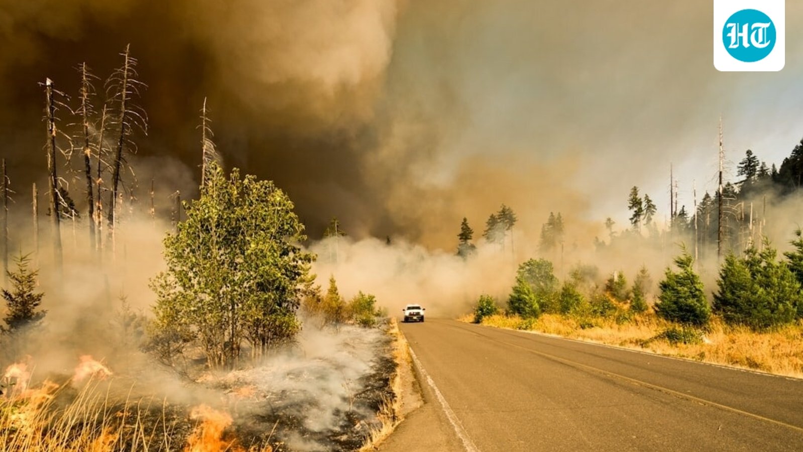
Maui County fire: Evacuation orders issued as blaze burns near Olowalu Village. (Representational photo) (Unsplash)

A brush fire was reported near Olowalu Village on Maui, Hawaii. Olowalu lies along HonoapiÊ»ilani Highway in West Maui, an area that has faced wildfire threats in the past. The latest Watch Duty update is providing a map and developments on the fire’s location. Maui County fire: Evacuation orders issued as blaze burns near Olowalu … Read more

Fire near Tri-Cities and West Richland: Map, evacuation updates as wildfire spreads in Benton County, WA

A wildfire near Benton City has triggered Level evacuation orders as officials warn residents of an immediate threat and urge them to leave.

A wildfire near Benton City in Benton County, Washington, had burned about 1,000 acres by early September 26, with no containment reported. The 2nd St Fire is listed near the 11,000 block of NE 2nd St, according to Watch Duty. A wildfire near Benton City has triggered Level evacuation orders as officials warn residents of … Read more

La Verne fire: Map, evacuation updates as lithium-ion battery blaze sparks Hazmat response near Wheeler Avenue

Fire in La Verne, California. (Unsplash)

A lithium-ion battery fire at an energy storage facility in La Verne, California, has prompted a Hazmat response and a mandatory evacuation order. Fire in La Verne, California. (Unsplash) The fire involves battery storage at a commercial facility in the area of Wheeler Avenue. It was first reported around 11:43 a.m. on Tuesday. The Los … Read more

Meridian Hydra Fire: Map, evacuation updates as wildfire surpasses 1,000 acres in Bosque County, Texas

Wildfire in Meridian, Texas. (UnSplash)

The entire city of Meridian, Texas, is under a mandatory evacuation order as the Hydra Fire surpasses 1,000 acres in Bosque County. Wildfire in Meridian, Texas. (UnSplash) In a Facebook post, the city said, “Mandatory evacuation for the city of Meridian. Go to Meridian High School if you have no place to go. If you … Read more

Whittier Palos Fire: Map, evacuation updates as wildfire spreads near La Habra, Hacienda Heights and Fullerton

Fire crews and air resources respond to the Palos Fire burning near Lupin Hill Road in Whittier. (UnSplash)

Update (6:42pm EDT): As per Incident Command, the fire has now grown to 20 acres, with a possibility of reaching 30 acres in the next hour. Fire crews and air resources respond to the Palos Fire burning near Lupin Hill Road in Whittier. (UnSplash) As per the City of La Habra Heights, the Red Cross … Read more

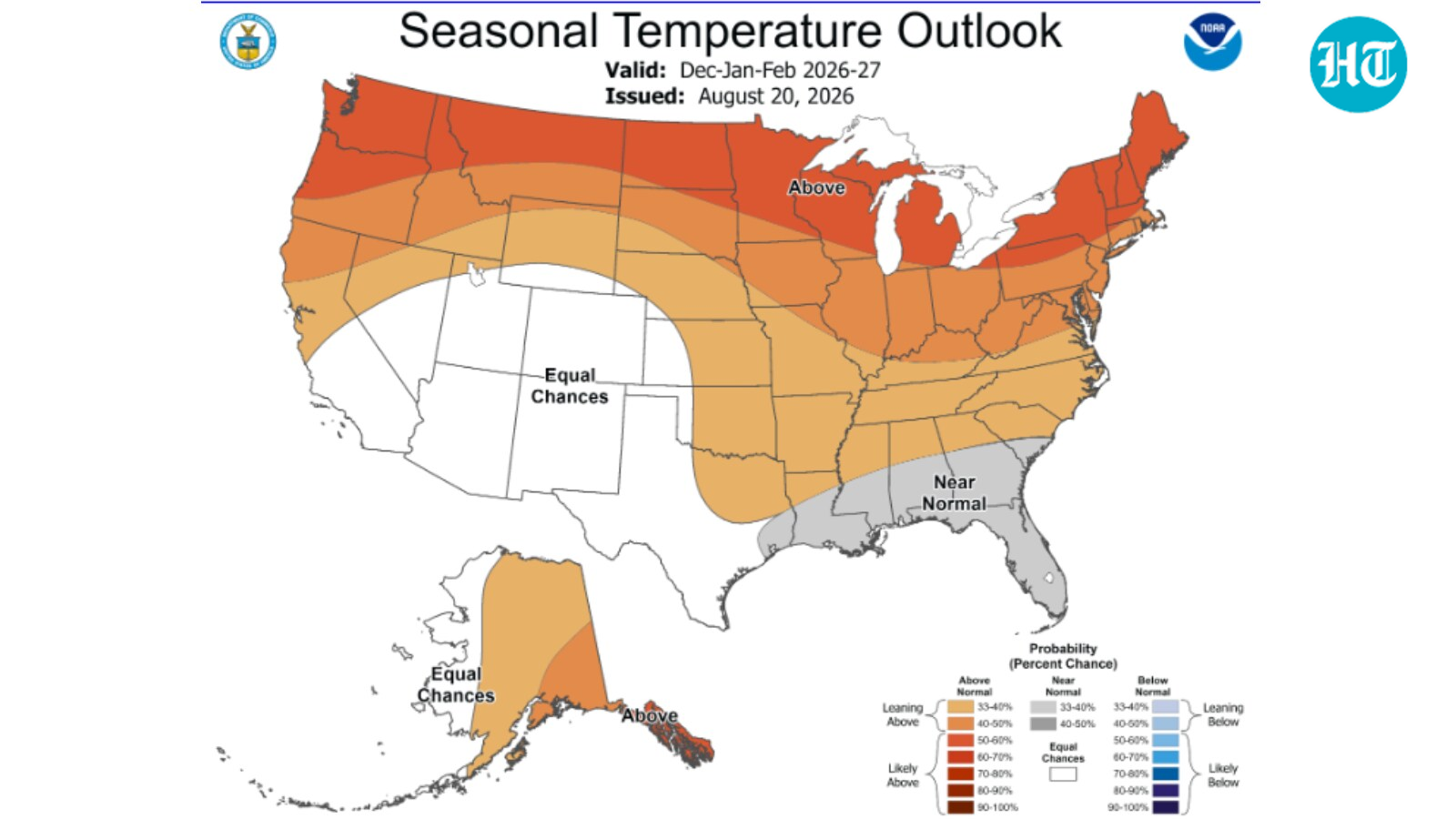
NOAA winter weather forecast map: Which US states could see more rain and snow this year?

NOAA winter weather forecast map (NOAA)

Winter 2026-27 could bring a mix of warmer temperatures, more rain and changing snow patterns across the United States. NOAA’s latest weather maps are giving an early look at what different parts of the country could experience from December through February. NOAA winter weather forecast map (NOAA) NOAA’s new maps for December to February The … Read more