Maui County fire: Map and evacuation updates as blaze burns near Olowalu Village, Hawaii
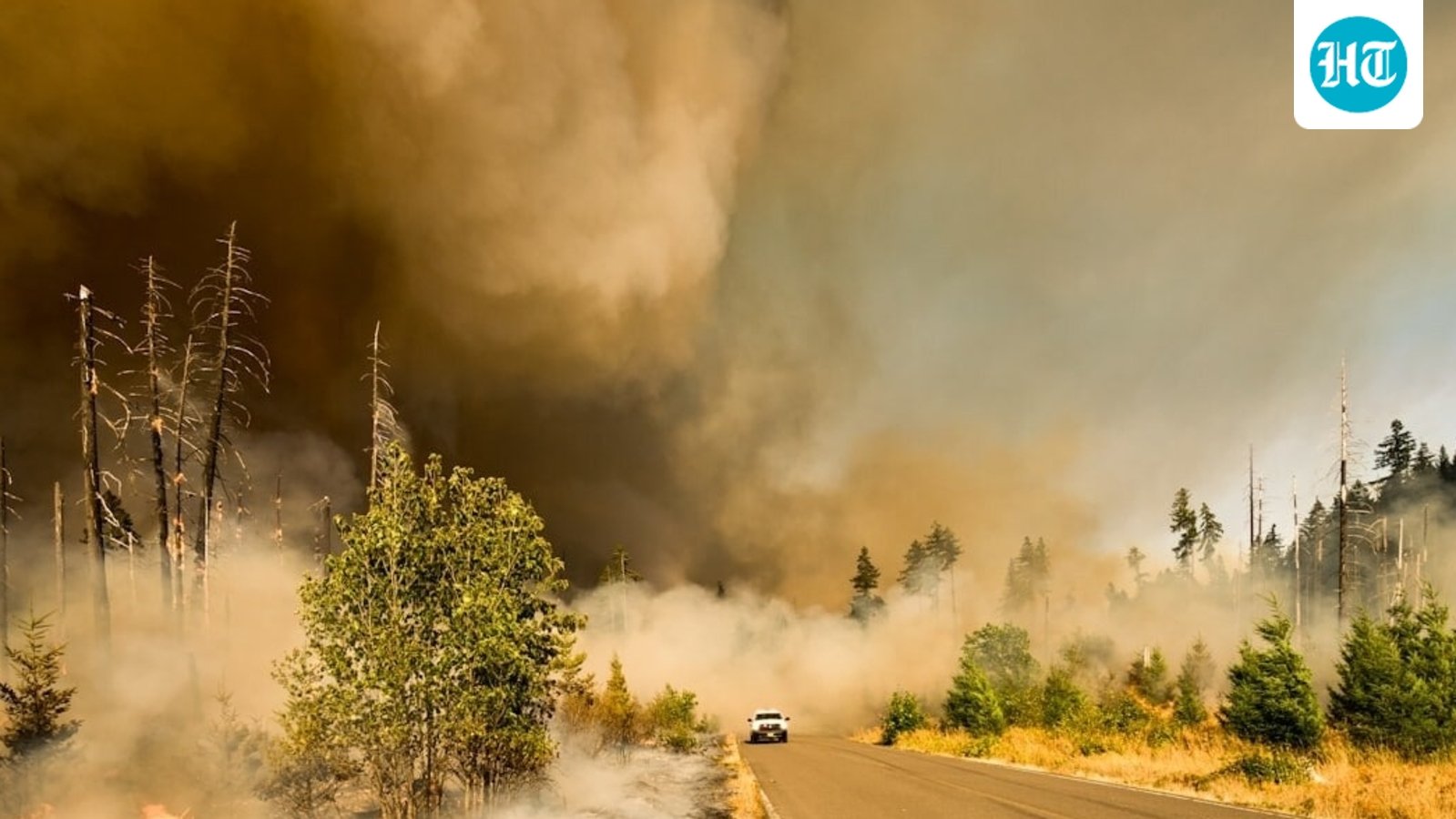
Maui County fire: Evacuation orders issued as blaze burns near Olowalu Village. (Representational photo) (Unsplash)

A brush fire was reported near Olowalu Village on Maui, Hawaii. Olowalu lies along HonoapiĘ»ilani Highway in West Maui, an area that has faced wildfire threats in the past. The latest Watch Duty update is providing a map and developments on the fire’s location. Maui County fire: Evacuation orders issued as blaze burns near Olowalu … Read more
Angel Island controlled burns: Smoke affects Oakland, Alameda, Berkely and Richmond; poor air quality reported

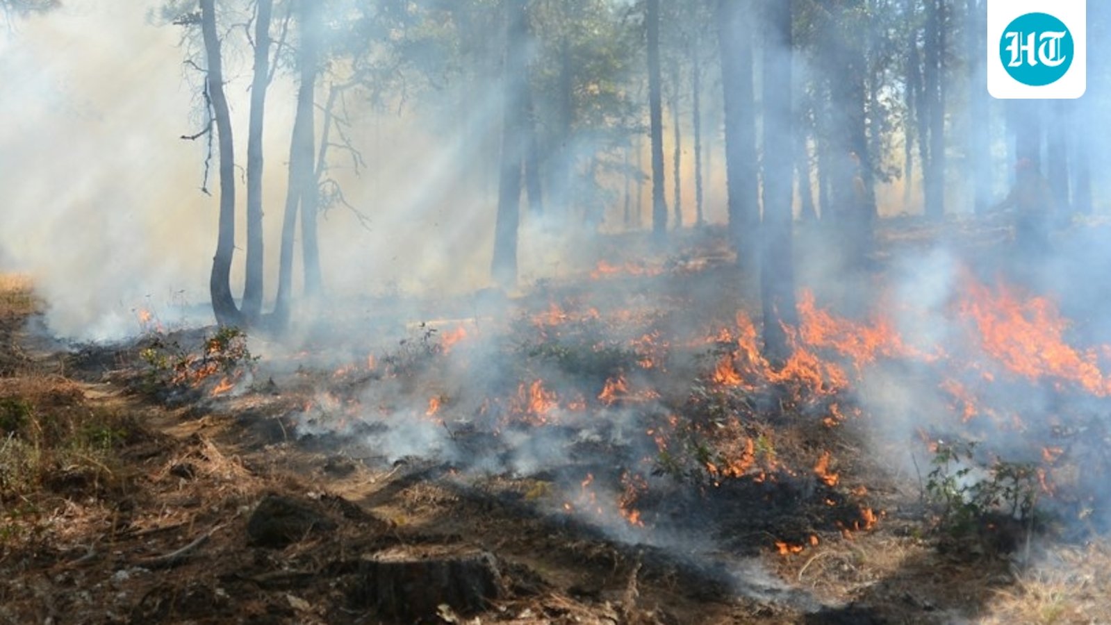
Representational image. (Unsplash)

As the controlled burns at the Angel Island State Park in California started again on Wednesday afternoon, residents in areas east of Angel Island complained that the smoke was affecting air quality. Representational image. (Unsplash) Oakland, which lies just east of Angel Island, was most affected by the smoke. The nearby areas of Alameda, Berkeley … Read more

Singapore burns its garbage and dumps the ash into the sea; how a 350-hectare island became a wildlife haven

Singapore burns its garbage and dumps the ash into the sea; how a 350-hectare island became a wildlife haven

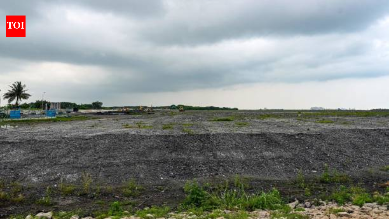
Did you know Singapore has a trash island made from ash? The country has managed to create a 350-hectare land area that has transformed into an ecological haven where migratory birds reside and corals thrive. The idea stems from a problem unique to the nation, it does not have much land to spare.A city-state located … Read more

Los Angeles Getty Fire map and evacuation updates: Is Getty Center threatened as blaze burns near I-405?

Los Angeles firefighters tackled a brush fire near the Getty Center in Brentwood on Wednesday afternoon, September 9. The fire, dubbed the Getty Fire by crews, was reported just after 4:15 p.m. in the hills above northbound lanes of the 405 Freeway, according to Los Angeles Fire Department officials. Los Angeles Getty Fire map and … Read more

US wildfire crisis: Hawk Fire burns more than 15,000 acres, forcing mass evacuations in Nevada

US wildfire crisis: Hawk Fire burns more than 15,000 acres, forcing mass evacuations in Nevada

In Nevada, 23,000 people remained under evacuation orders around Reno on Monday as the Hawk Fire burned more than 15,000 acres. (GIF: @HotshotWake) In Nevada, 23,000 people remained under evacuation orders around Reno on Monday as the Hawk Fire burned more than 15,000 acres, while California lawmakers weighed utility wildfire liability and scientists warned that … Read more

Grass Valley Clover Fire: Evacuation map, updates as blaze burns in Nevada County near Alta Sierra

Wildfire burning in Nevada County, California. (UnSplash)

Update: All evacuation orders related to the Clover Fire in Nevada County have been lifted, authorities confirmed. Wildfire burning in Nevada County, California. (UnSplash) The firewhich broke out Friday morning, had burned more than 12 acres by the evening, according to authorities. The Nevada County Sheriff’s Office said in a Facebook post, “All evacuation orders … Read more

Burbank Walnut Fire: Map and evacuation updates as blaze burns near Wildwood Canyon Road

Burbank Walnut Fire (Unsplash/ representative image)

Update 6:53pm EDT: The Walnut Fire has grown to around 20 acres and is spreading at a moderate pace through medium to heavy brush, as per Watch Duty. Officials say the fire could grow to as much as 50 acres within the next hour. Burbank Walnut Fire (Unsplash/ representative image) A helicopter crew at the … Read more