
Two tropical systems are currently under observation in the Atlantic basin; however, neither poses an immediate risk to South Florida.
The remnants of Tropical Storm Dolly are still causing heavy rainfall and strong winds in the vicinity of Puerto Rico and the Virgin Islands. There are no indications of a closed circulation, and the likelihood of redevelopment is minimal due to the presence of strong upper-level winds.
The remnants of Dolly are progressing west to west-northwest at approximately 25 mph. The National Hurricane Center (NHC) assesses the system’s chance of redevelopment over the next week to be 10%.
Invest 97L and Tropical Storm Edouard
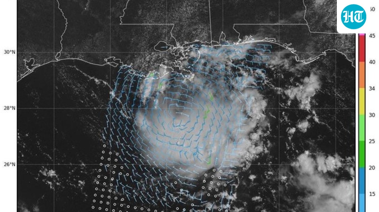
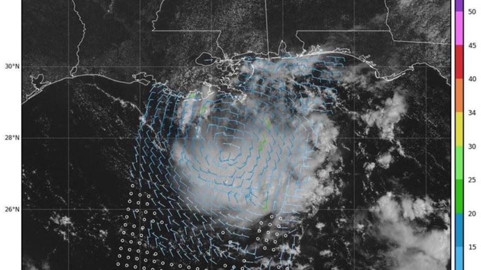
In the meantime, Invest 97L is generating disorganized showers and thunderstorms in the northern Gulf. The NHC estimates a 70% chance of development for this system as it continues to drift westward.
Residents along the coasts of Louisiana and upper Texas are urged to keep an eye on 97L, which has the potential to develop into a tropical depression or storm by Monday before making landfall.
If the maximum sustained winds attain 39 mph, it would be designated as Tropical Storm Edouard, marking the fifth-named storm of the 2026 Atlantic hurricane season.
Hurricane hunters are set to examine the low-pressure system on Monday morning.
Will Invest 97L develop into Tropical Storm Edouard before making landfall?
A low-pressure system situated over the northern Gulf of America, more than 100 miles south of southern Louisiana’s coastline, continues to generate a small yet concentrated area of showers and thunderstorms.
Further development is expected as the low progresses slowly in a west-northwest direction, with the likelihood of a brief tropical depression or tropical storm forming before the system reaches the Upper Texas or southwestern Louisiana coasts by tonight (Aug. 31) or Tuesday morning (Sept. 1). Residents along the southwestern Louisiana and Upper Texas coasts are advised to keep track of this system’s progress, as tropical storm watches or warnings may be necessary for certain areas later today.
Heavy rains expected in Upper Texas and southwestern Louisiana coasts
Despite ongoing development, this system is anticipated to deliver significant rainfall to areas along the Upper Texas and southwestern Louisiana coasts over the coming days, as reported by the National Hurricane Center.
“The heaviest rain is forecast to first reach coastal Louisiana early Monday morning (Aug. 31) before downpours spread west across the state on Monday,” according to AccuWeather.
“Showers and thunderstorms will spread across coastal Texas Monday night into early Tuesday. Houston and surrounding communities may experience the most persistent rainfall from late Monday night through Tuesday.
“A broad area of 1-2 inches of rainfall is forecast along the Louisiana coast and into eastern Texas from Sunday night to Wednesday (Sept. 2). A corridor of heavier rainfall with totals of 2-4 inches is expected around Houston and southeastern Texas.”
According to AccuWeather, the total rainfall linked to Invest 97L may reach 12 inches from August 30 to September 2.
“This flow of tropical moisture will keep localized flooding concerns in place from Houston and New Orleans eastward through Tampa and Orlando, Florida.”
Invest 97L: Spaghetti models and expected path
A special note regarding spaghetti models: Illustrations of spaghetti models encompass a variety of forecasting tools and models, and their quality varies significantly. The Hurricane Center relies solely on the top four or five most effective models to assist in formulating its forecasts.
You can track Invest 97L by clicking here