
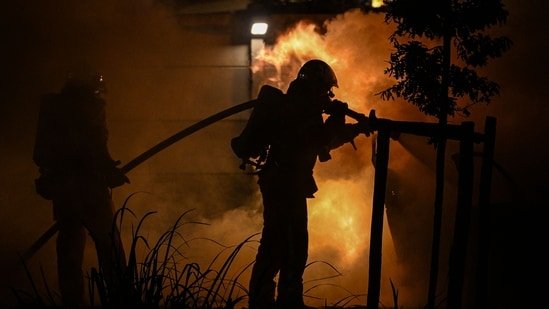
A fast-moving brush fire known as the Pointe Fire broke out in Santa Clarita Wednesday afternoon, triggering evacuation warnings for nearby homes. Los Angeles County firefighters are extinguishing a blaze near Center Point Boulevard. View the latest fire and evacuation maps here.
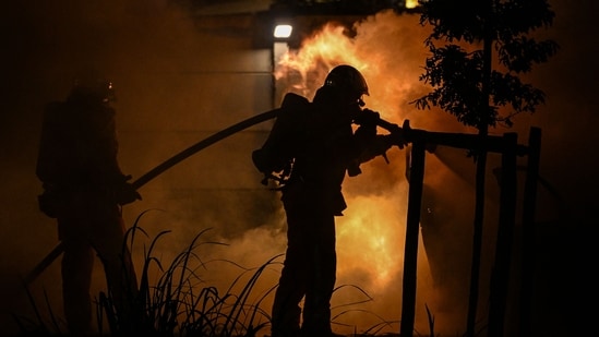
What we know so far
According to ABC7, the bushfire was first reported at 1:40 pm local time on Wednesday. Crews were called to a second alarm at 2:08 p.m. to respond to the rapidly spreading fire.
As of 2:15 p.m., the fire had burned about 5 acres, and officials warned it had the potential to spread to 100 acres within the next hour due to fire conditions.
Radio traffic indicated that buildings along Doreen Square were immediately threatened by the spreading flames.
Incident command later reported that the fire had grown to 30 acres by 2:45 p.m., although firefighters were making good progress establishing and strengthening perimeter containment.
Metrolink train operations suspended
Metrolink services between Via Princessa and Newhall have been suspended as firefighters work in the area. Officials have not said when service will be restored.
Issue an evacuation warning
An evacuation warning has been issued for Center Pointe Parkway.
“An evacuation warning has been issued for Center Pointe Pkwy. If you live here or are nearby, please prepare to leave. If you need more time to evacuate, please consider leaving immediately. Please call 911 for emergency assistance,” the Santa Clarita Valley Sheriff’s Station said in a Facebook post.
The Sheriff’s Station also announced that a reunion center has been set up for evacuated residents at the Santa Clarita Aquatic Center, 20850 Center Pointe Parkway, Santa Clarita.