
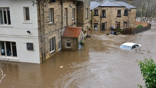
Due to continued heavy rainfall and thunderstorms in the central region Texas Lake Travis in Travis County remains at severe flooding risk Friday. The risk was compounded on Friday when the LCRA opened floodgates at Mansfield Dam and Tom Miller Dam.
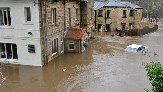
Rainfall in the Colorado and Pedernales River watersheds caused water levels to rise rapidly Wednesday and Thursday. On Thursday, July 16, the Lower Colorado River Authority (LCRA) warned that the floodgates at Wirtz Dam and Stark Dam would be opened. At the time, Lake Travis was about 85% full.
How close to full will Lake Travis be on Friday?
In a local alert to Travis County residents on Friday, the LCRA announced they plan to open both Mansfield Dam gates early Saturday, June 18. This will cause water levels in Lake Travis to rise significantly, with water levels in Lake Travis reaching alarming levels not seen since 2019.
Lake Travis was 94.8% full as of Friday at 4:00 p.m. Central Time Texas Water Data Website. The website provides real-time updates on water levels in Lake Travis and other Texas reservoirs.
Based on scanner reports, an alert in Travis County is expected to last from 7:00 PM CDT to 8:00 PM CDT. Meanwhile, CBS Austin Chief Meteorologist Chikage Windler reported that Lake Travis was just half a foot away from filling as of 7:00 PM Central Time.
according to Lake Travis Official Websitethe lake is considered full at MSL 681 feet. As of 7:00 PM Central Time, the lake level was less than three feet below 680.18 feet MSL.
“Releases expected from Mansfield Dam and Tom Miller Dam,” LCRA said in an update Friday afternoon. “LCRA will open at least two gates at Mansfield Dam tomorrow Saturday. The first gate is expected to open around 6am. The second gate is expected to open at 1pm.”
As a result, there is a severe risk of flooding to low lying areas from 6am on Friday until late afternoon.
Also read: TEXAS FLOODS: Body camera captures video of Uvalde airlifting Texas flood victims
What happens if Lake Travis reaches full water?
Rising water levels in Lake Travis to more than 681 feet means sea levels pose no immediate threat to local communities. After breaching the 681-foot mark, the water enters a designated flood basin that extends to 714 feet.
The expanded reservoir is designed to contain flooding in Austin when Lake Travis overflows. However, low-lying areas around the Colorado River remain at significant risk.
It includes Lake Travis, Lakeway’s Hudson Bend, Graveyard Point, Sady Creek and Crow Creek areas, as well as portions of Volente and The Hollows on the North Shore.